


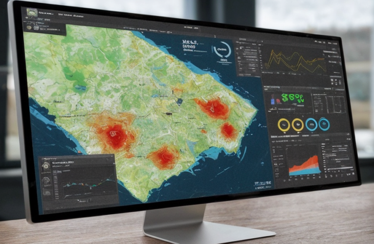
GIS IN FORESTRY: ADVANCING SUSTAINABLE FOREST MANAGEMENT
Geographic Information Systems (GIS) are computer-based tools that store, analyze, and visualize spatial and geographic data. These systems integrate various datasets, including satellite imagery, topographic maps, and field survey data, … Read More