


GIS IN FORESTRY: ADVANCING SUSTAINABLE FOREST MANAGEMENT
Geographic Information Systems (GIS) are computer-based tools that store, analyze, and visualize spatial and geographic data. These systems integrate various datasets, including satellite imagery, topographic maps, and field survey data, to provide comprehensive spatial analysis. GIS enables users to understand patterns, relationships, and trends in geographic space, making it an essential technology in multiple disciplines, including forestry.
GIS has revolutionized forestry by providing powerful tools for spatial analysis, mapping, and decision-making. As the global emphasis on sustainable forest management increases, GIS has emerged as an indispensable technology for monitoring, analyzing, and managing forest resources. By integrating diverse data sources, GIS allows researchers to track changes in forest cover, assess biodiversity, and optimize resource management strategies. This article explores the applications, benefits, and future prospects of GIS in forestry.
Applications of GIS in Forestry:
1. Forest Mapping and Inventory
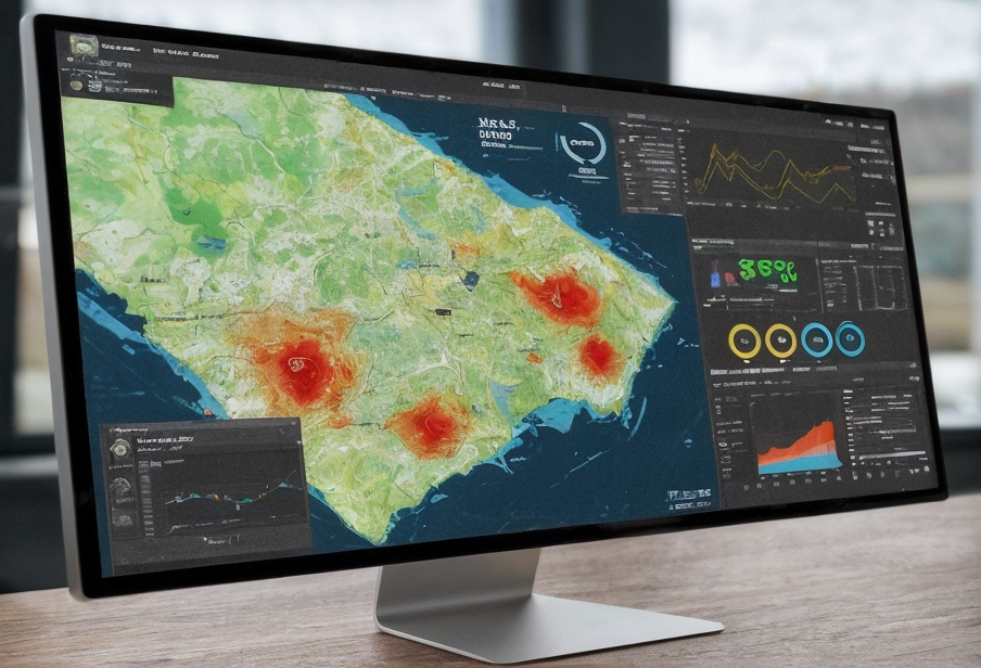
GIS enables accurate mapping of forest landscapes by integrating remote sensing data with ground surveys. This facilitates the creation of detailed forest inventories that include information on tree species, canopy cover, and biomass. Advanced GIS tools allow foresters to analyze forest composition and distribution at various spatial scales.
Read entire article: Me & My Earth